Mt. Sanage


- □
- □
- □
- □
- □
- □
- □
- □
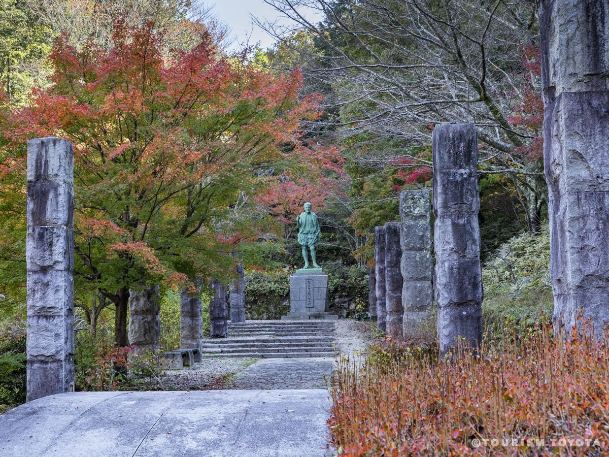
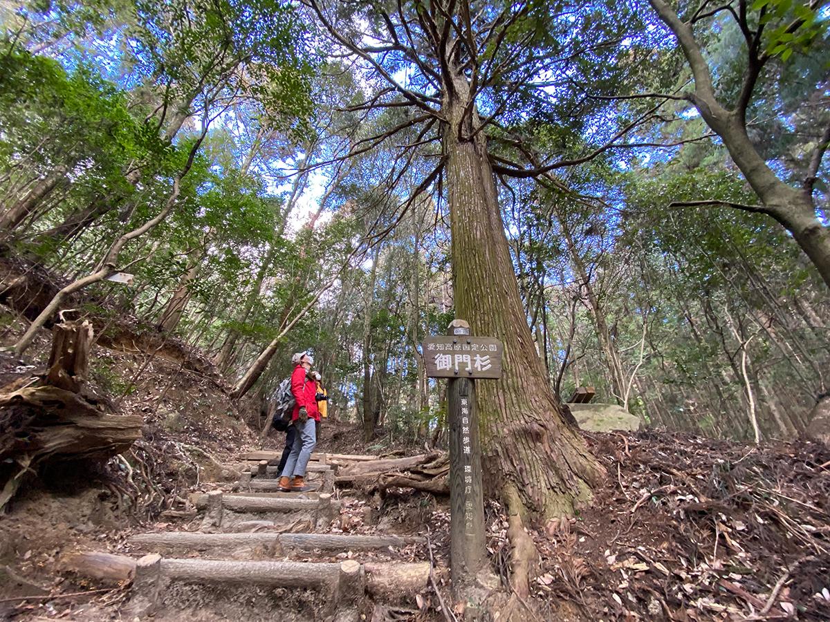
Mt. Sanage on the northern edge of the municipality of Toyota is both a popular hiking destination and a sacred peak that has been revered from prehistoric times to the present. The mountain’s rounded summit (629m) is visible from afar from nearly all directions, making it an important landmark, and is thought to have been an object of enduring awe and curiosity among the people who lived on the surrounding plains. It is not clear when organized worship of Mt. Sanageyama began, but there have been shrines on its slopes since at least the ninth century that were originally sites for syncretic Shinto-Buddhist practice. Those sites were the predecessors of modern-day Sanage Shrine, a large Shinto sanctuary that consists of the main shrine complex at the southern foot of the mountain and two smaller shrines, Higashinomiya and Nishinomiya, on its eastern and western slopes, respectively.
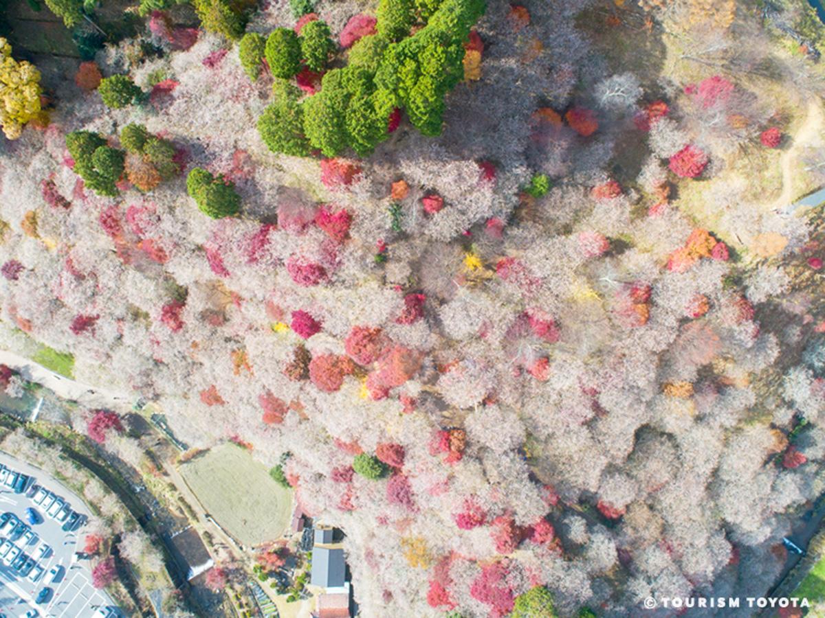
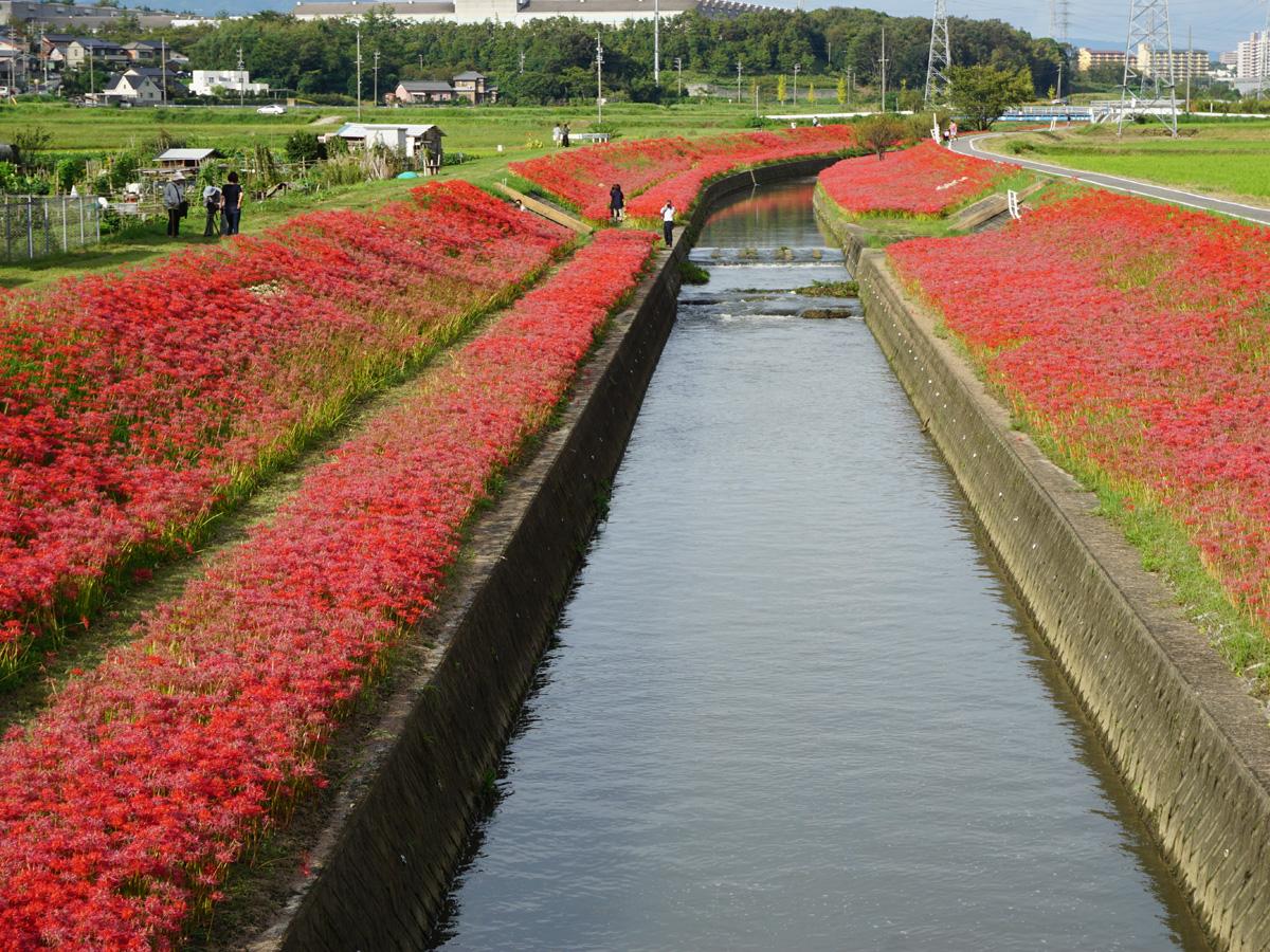
Many hikers visit the mountain on weekends, especially in spring when the peach trees around its slopes are in bloom, and in autumn to see the seasonal foliage. Japanese cedar and hinoki cypress trees grow throughout the slopes, interspersed with evergreen oaks (akagashi), camellias (yabutsubaki), chinquapins (tsuburajii), hemlocks (tsuga), and cherry birches (mizume).
There are two trails to the summit, both starting from the main complex of Sanage Shrine. The western one follows the Hirosawa River and passes by a series of seven waterfalls on its way toward Nishinomiya Shrine and then on to the summit. The eastern trail goes past Higashinomiya Shrine and its grove of giant cedar trees before turning onto a ridge that offers views toward the Southern Alps along the way to the peak. Both trails are dotted with large boulders, one of which is shaped like a boat, and another is said to resemble a frog. Completing the entire 13.3-kilometer circuit takes about four and a half hours.
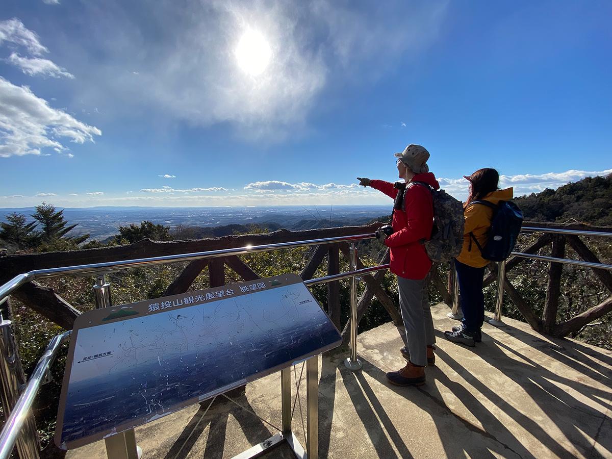
Visible from the summit toward the west and southwest are the city of Nagoya, the Chita Peninsula, Ise Bay, and Mikawa Bay. Just to the north is the 701-meter Mt. Mikuni (“three provinces”), named after its location on the border of the former Mino, Owari, and Mikawa Provinces. On clear days it is possible to see the peaks of Mt. Haku (2,702m) and Mt. Ontake (3,067m) as well as the Southern Alps.
Annual events
Sanage Jinja Shrine autumn foliage (mid- to late November)
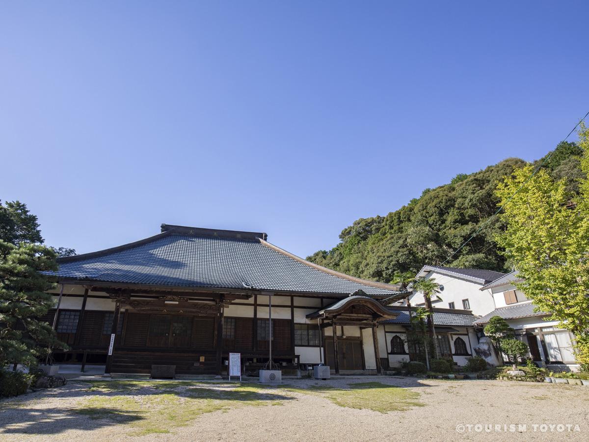
In autumn, the maple forest around Sanage Jinja Shrine in the foothills turns a deep crimson, to the delight of visitors. The maple tree in front of the Toshoji Temple Daihiden Hall is particularly famed for its beauty.


Mt. Sanage foothills peach blossoms (late March to mid-April)
The Sanage area is called “Momo no Sato” (peach country), and boasts one of the largest peach harvests in the prefecture! In spring, the foothills are filled with blooming peach blossoms, like the world of the fable The Peach Blossom Land.


Basic Information

| Address | 〒470-0361 Washitori, Sanage-cho, Toyota-shi, Aichi |
|---|---|
| Cost | Free admission |
| Business hours | Open all day |
| Parking | Free parking for 50 vehicles. |
| Closed | None |
| Directions by car | 30 min. north on the Sanage Green Road Sanage Interchange |
Area Information


Recommended Spots